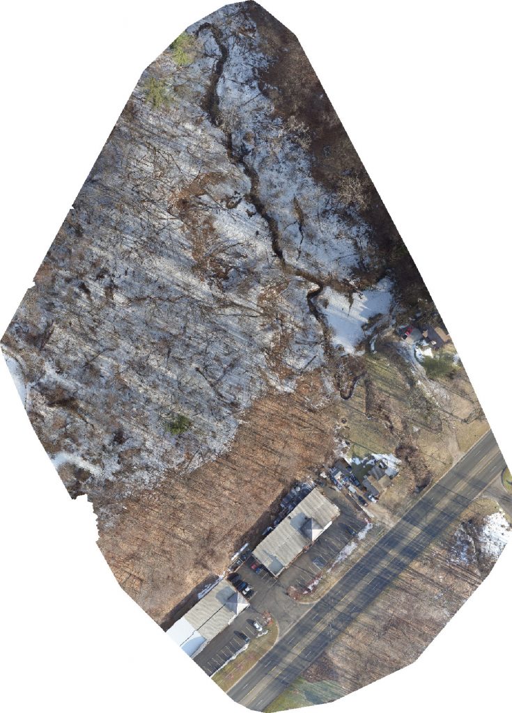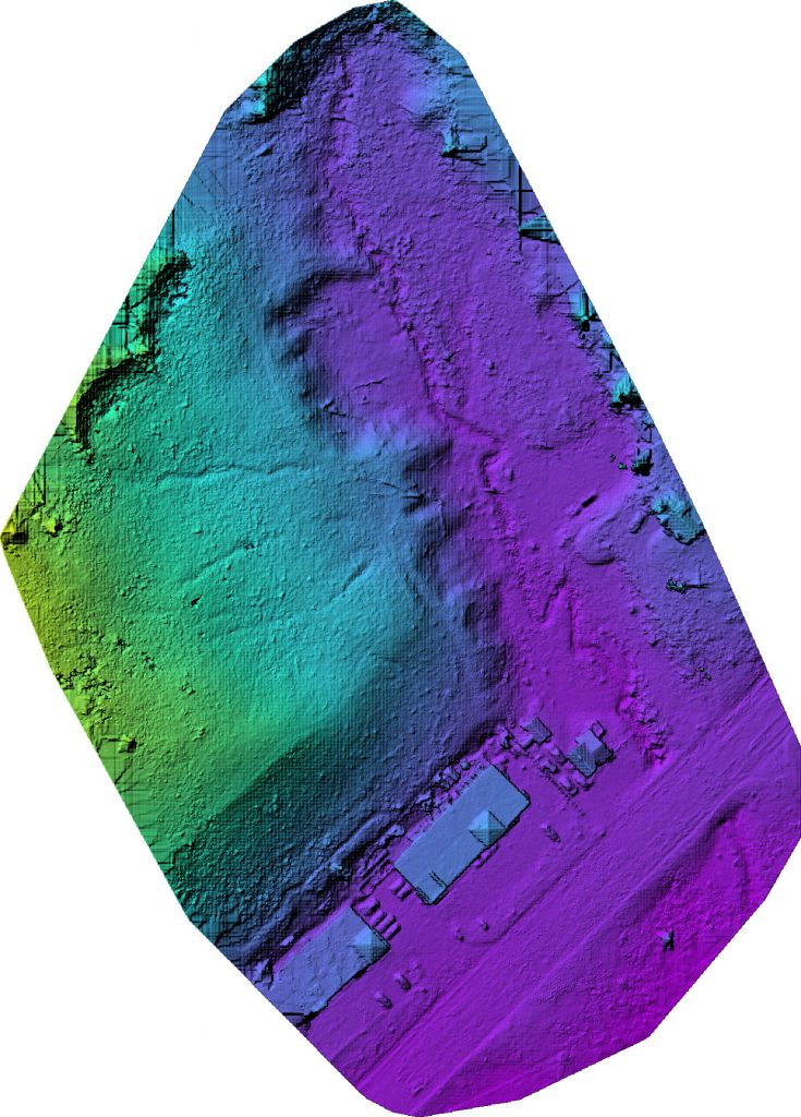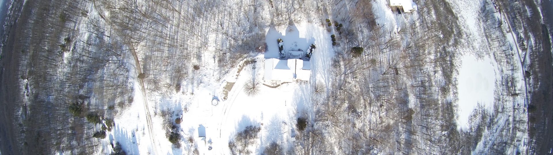
Photogrammetry is the science of using photographs to measure and interpret the properties of an object or environment. It involves the use of specialized software to process and analyze digital images taken from various viewpoints to create 3D models, maps, and other spatial data.
One common use of photogrammetry is in surveying and mapping, where aerial or satellite images can be used to measure the topography of a region or the layout of a city. It can also be used in engineering and construction to create detailed 3D models of buildings and other structures, or to monitor the progress of a construction project.
In addition to its use in professional applications, photogrammetry has also become increasingly popular in the field of computer vision and robotics, where it is used to create 3D models of objects and environments for use in autonomous navigation and object recognition.
Overall, photogrammetry is a powerful tool for accurately measuring and interpreting the physical world, and it has a wide range of applications in fields such as geography, surveying, engineering, and robotics.