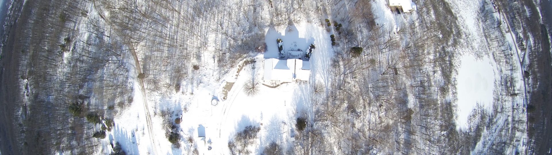
Our aerial 3D imaging is a process of creating detailed, three-dimensional models of landscapes, buildings, and other structures using data collected from our drone fleet. This data is typically collected using a variety of sensors, including cameras, thermal, and other imaging technologies. The data is then processed using specialized software to create accurate 3D models that can be used for a variety of applications, such as urban planning, architecture, and surveying. Aerial 3D imaging can provide a comprehensive view of an area, including detailed information on topography, building heights, and vegetation. The resulting models can be used to create interactive maps and visualizations, as well as to support decision-making and analysis in various fields.
Aerial Photography
3D Modeling
Scroll