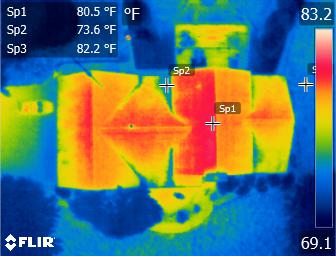
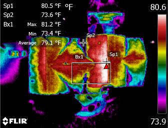
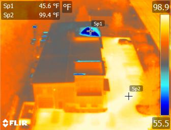
Aerial thermal imaging is the use of thermal cameras mounted on drones to capture images of the thermal energy (up to 14,000nm) emitted by objects on the ground. These images can be used for a variety of applications, including search and rescue operations, wildlife monitoring, and building inspections. The technology works by detecting the infrared radiation emitted by objects and converting it into an image that can be analyzed. Because thermal imaging can “see” heat, it can be used to identify objects or people in low visibility conditions, such as at night or in smoke. It can also be used to detect temperature variations in buildings or other structures, which can indicate the presence of insulation issues or other problems.
Thermal imaging from the air has never been as easy as it is with our state of the art equipment. By combining our expertise with the leading technology from FLIR, we have the ultimate solution for rapid and reliable aerial thermal imaging. We can capture imagery faster, with pinpoint precision, over large areas, and use the imaging directly for emergency situations like search and rescue or save them later for analysis and reporting.
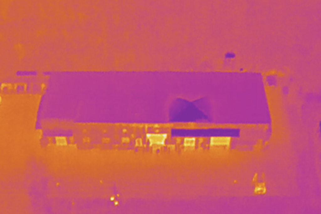
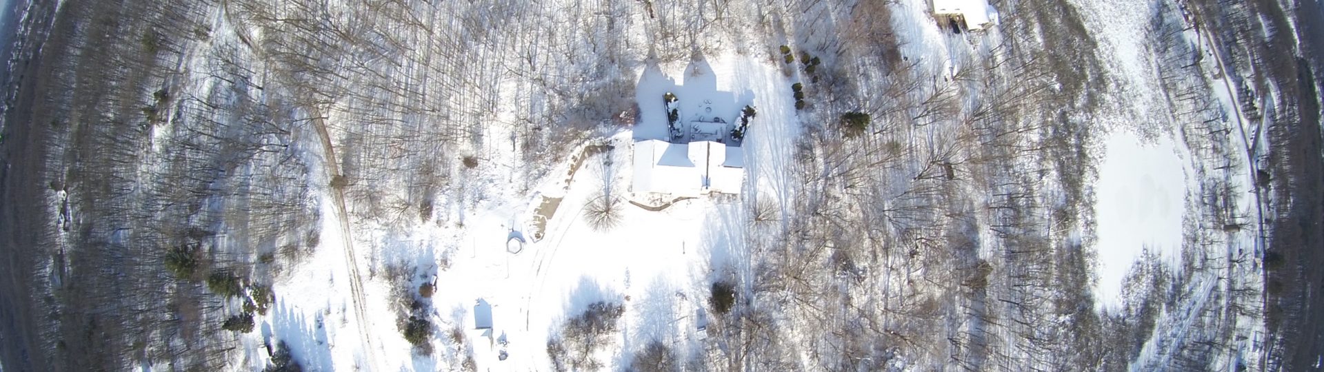
Thermal Panorama: